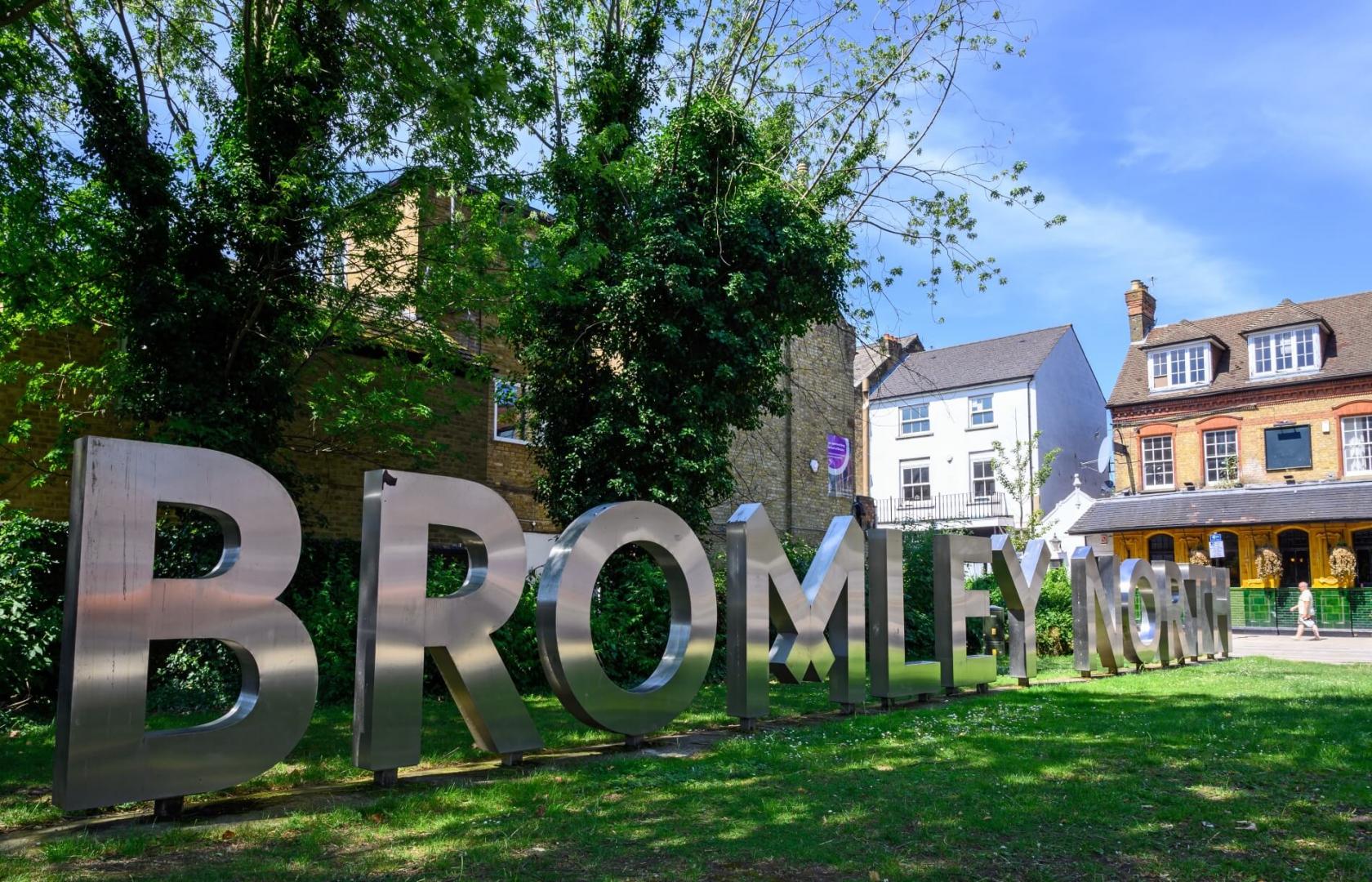
Welcome to Bromley
The borough is the largest in Greater London by area and occupies 59 square miles (153 km2). The majority of the borough is Metropolitan Green Belt, including nearly all of the land south of the A232-A21 route between West Wickham and Pratts Bottom. Consequently, it is also perhaps the most rural borough and contains more of the North Downsthan any other, as that escarpment is broad between Bromley and Banstead.
Most of the population lives in the north and west of the borough, with an outlier at Biggin Hill in the far south. The borough shares borders with the London Boroughs of Lewisham and Greenwich to the North, Bexley to the North East, Southwark and Lambeth to the North West, as well as Croydon to the West. It also borders the Sevenoaks District of Kent to the East and South, and the Tandridge District of Surrey to the South West.
Westerham Heights, the highest point in London at an altitude of 804 feet (245 m), is on the southern boundary. The Prime Meridian passes through Bromley.
About 30% of the land in Bromley is farmland, the highest figure of a London Borough.

Images of Bromley